LIDAR
Ø LIDAR represents Light Detection and Ranging or LASER RADAR.
Ø LIDAR is not only replacing conventional sensors but also creating new methods with unique properties that could not be achieved before.
HOW IT WORKS
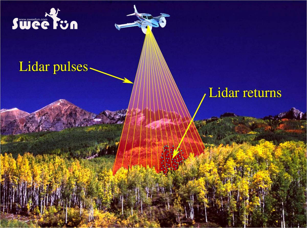
Ø Up to 200,000+ pulses/second
Ø Everything that can be seen from the aircraft is measured
Ø Each time the laser is pulsed:
- Laser generates an optical pulse
- Pulse is by object and return and received by receiver
- High-speed counter measures the time of flight from the start pulse to the return pulse
- Time measurement is converted to a distance (the distance between the target and the position of the airplane is then used to determine the elevation and location)
- Multiple returns can be measured for each pulse
RETURN DENSITY
Ø In LIDAR the footprint size decreases with increasing post-spacing and importantly the last return from a discrete return system is not always the ground
Ø LIDAR sensor systems vary in the number of returns from a surface
APPLICATIONS
Ø Digital Elevation Model(DEM)
Ø Geomorphology
Ø Geology
Ø Measuring volume in open pit mines


